The Maria Street bridge is a bottleneck in Peterborough’s cycling network.
On the east side of the canal, Ashburnham Drive has bike lanes and a lovely separated walking/cycling path. And it’s planned to expand northward with Ashburnham Drive realignment and the improved McFarlane bridge (details here).
Lots of biking at the Beavermead Campground / Ecology Park too.
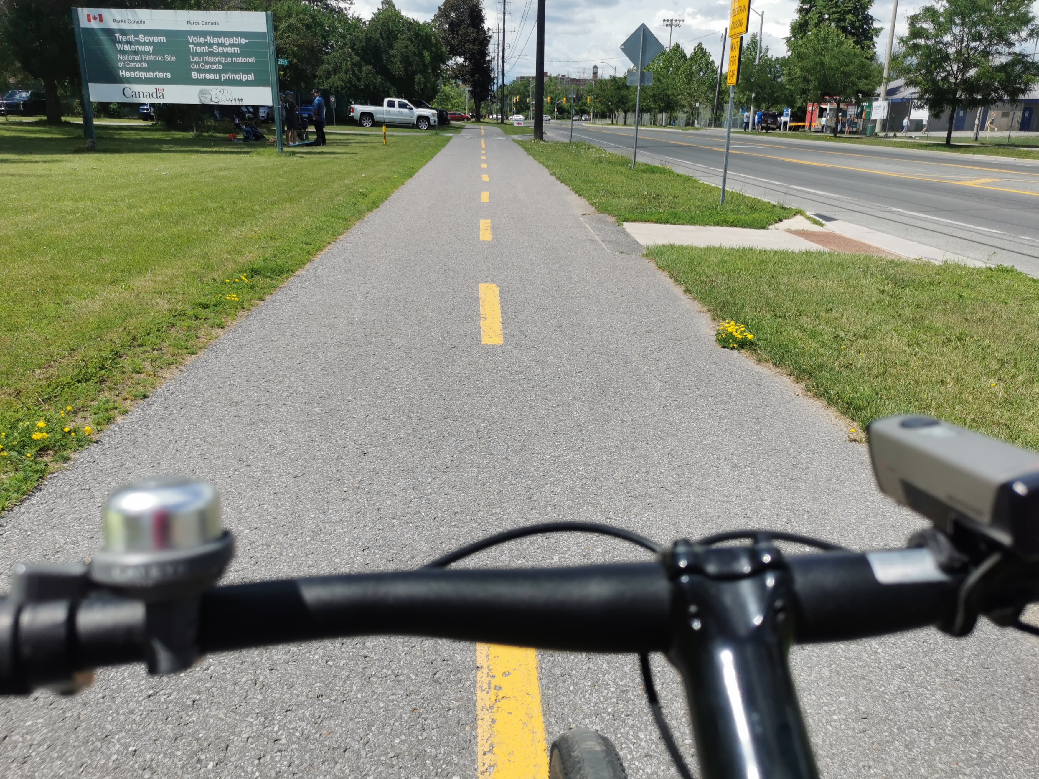
On the west side of the canal, there are low-traffic streets connecting to the Rotary Greenway Trail. That’s the trail along the east side of the Otonabee River from Trent down past Hunter Street. It’s a major north-south bike route. There’s also a multi-use path along Rogers Cove.
In short, if you want to bike in the east end of Peterborough, you’re probably going to cross the Maria Street bridge.
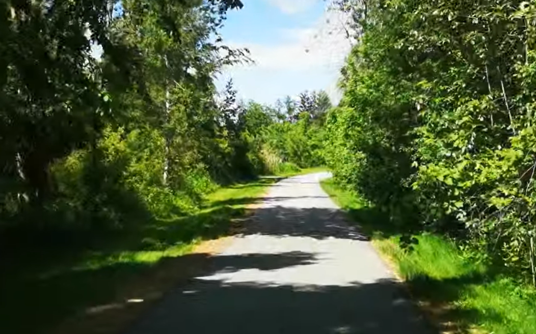
The Maria Swing Bridge is the missing connection between these cycling networks.
One dangerous segment ruins a whole route

A single dangerous segment like this bridge can deter people from making the trip by bike. It’s like downhill skiing – if you have a run that is an easy bunny hill the whole way but you have to do a short double black diamond halfway down, a lot of casual skiers would say “no thanks I’d rather not die.”
The Maria Street bridge is that double black diamond segment. A lot of people won’t bike from Point A to Point B if they have to bike on this bridge – it feels too dangerous and stressful. And biking to almost anywhere in the east end requires crossing this bridge.
And that’s why Peterborough has already planned to improve it.
Peterborough Cycling Master Plan

The Peterborough Cycling Master Plan (2022; pdf here) outlines where and when the city plans to improve our cycling network. Its maps show plans for a cycling facility along the road and crossing improvement at the Maria Street bridge (Exhibits 4.1, 4.5). These improvements are planned for 2031-2041 (Exhibit 4.7).
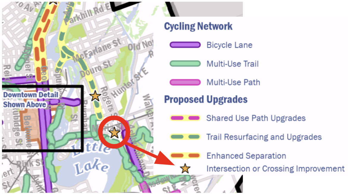
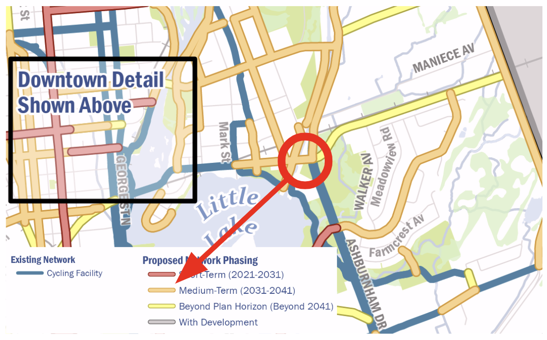
So the city plans to add protected mobility lanes to this bridge, next decade. Remember, this isn’t some decades-old plan – this was just published in 2022. The city is committed to this plan.
Why not add-on protected lanes now, while the bridge is under construction??
If we construct the main bridge now, then add protected mobility lanes next decade (as planned), it’ll be slower, more expensive, and have double the down-time of the bridge being out of commission for construction.
If we bundle the protected mobility lanes with the main bridge construction now, it’ll be faster, cheaper, and have less down-time for traffic.
Let’s save money and construction delays by adding the protected lanes now, bundling it with ongoing construction. It just makes sense.